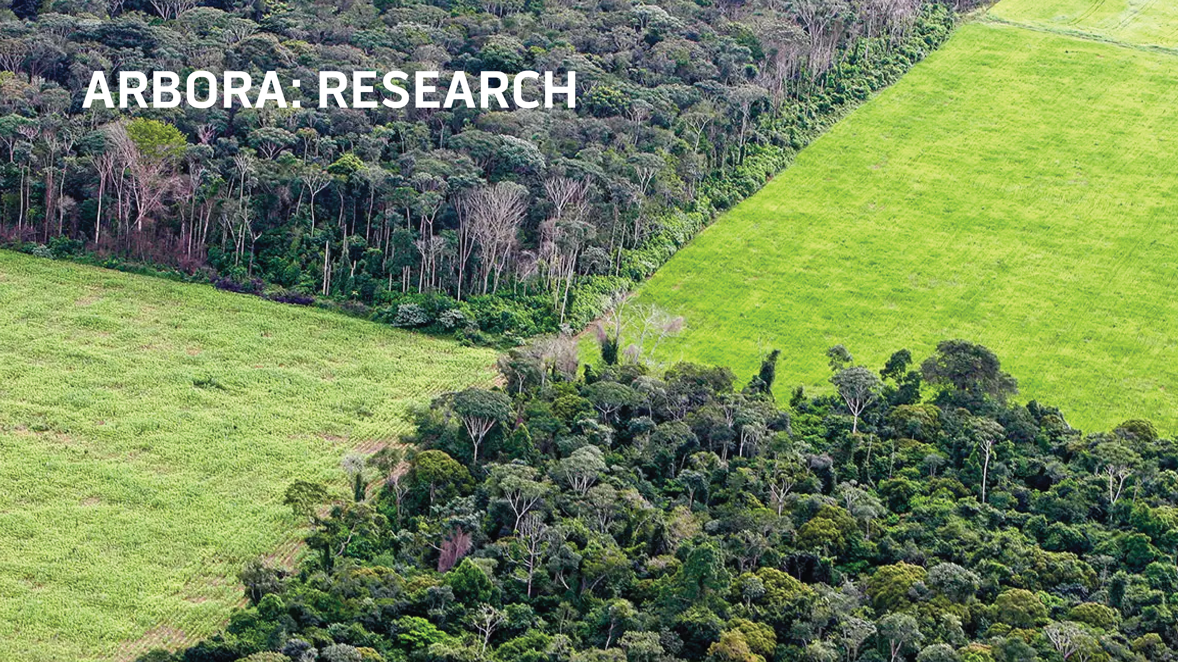
The Amazon is reaching an irreversible tipping point. In 2021, there was a 22% increase in deforestation, making it the most devastating year since 2006.
— World Wide Fund for Nature
The Challenge
Currently, satellite images and radar data are the main way scientist, humanitarian groups, and governments survey logging areas. But these methods cannot show human foot traffic, as send live data authorities to when man-made forest fires or mast destruction occurs.
The Solution
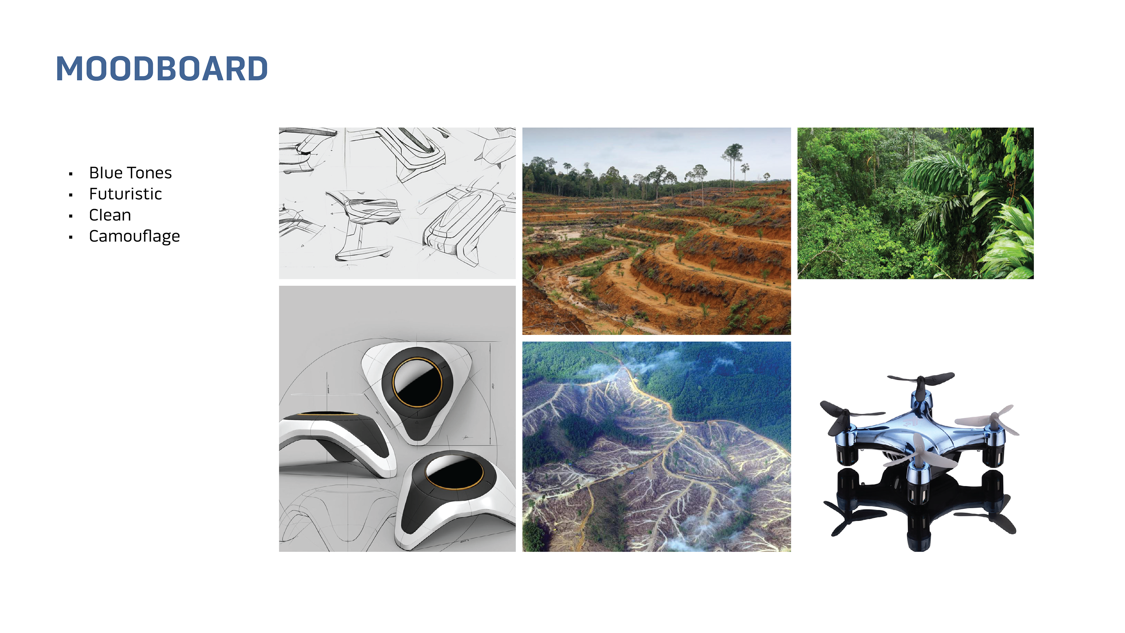
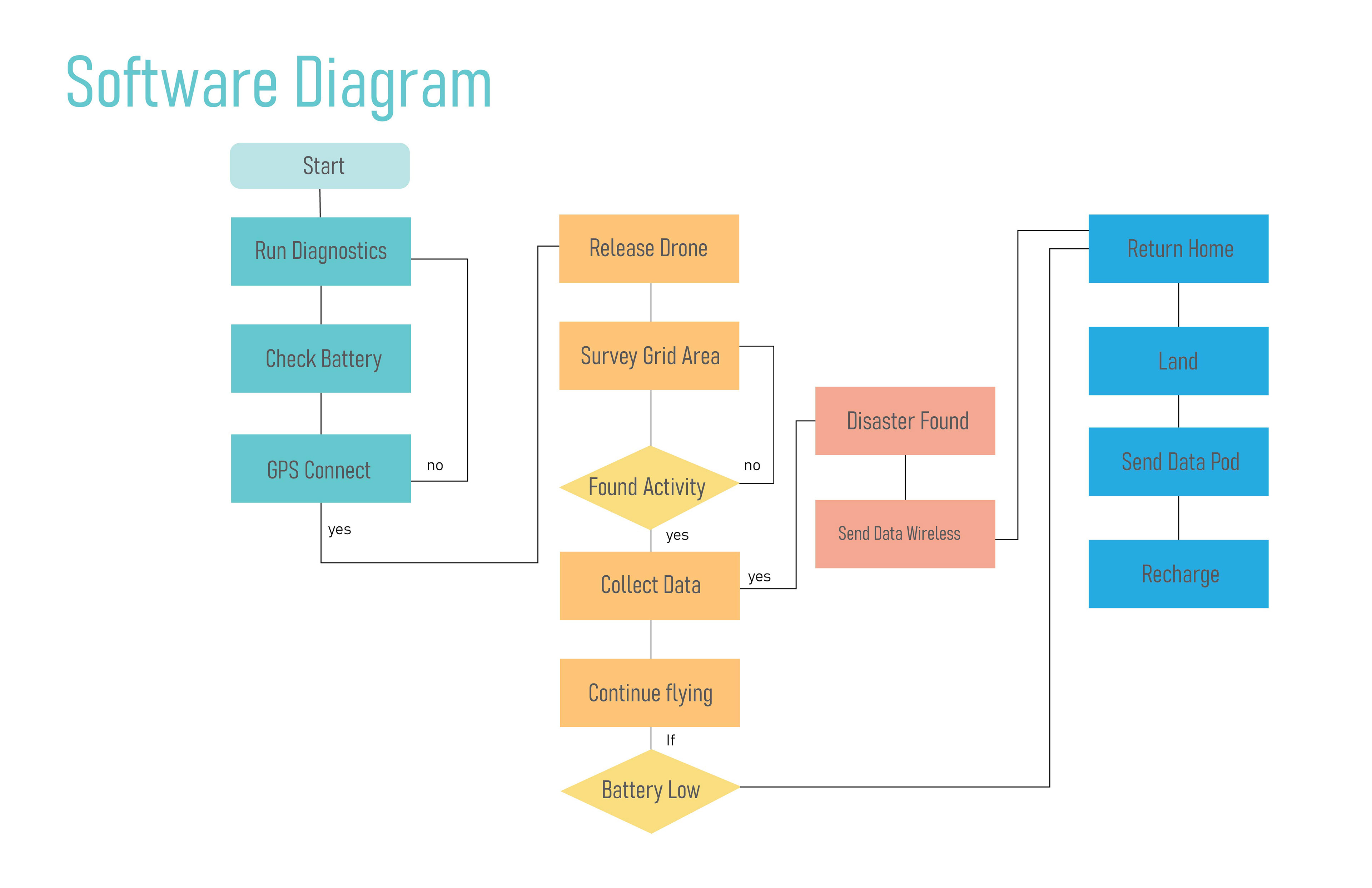
Arbora is a quadcopter drone that is remotely deployed from a weather-protected dome dock and can wirelessly survey set areas. Arbora has the capabilities of seeing in different camera modes, including thermal.
Role
Creative Director
UX Designer
UI Designer
3D Rendering
Researcher
3D model made with Fusion 360
Process & Research


